
Collaborative Forest Management for the Slave Lake Region
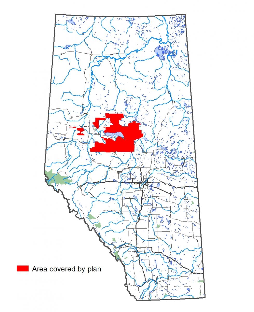
The 2021 Lesser Slave Lake Regional Forest Management Plan is a roadmap for forest use and sustainability in the Slave Lake region. It has been approved and will apply to the region for the next ten years. The Slave Lake area forest products companies have jointly developed the plan through shared goals, standards, and objectives. The success of the plan and the strength of these objectives were guided by public input. Thank you for helping us create a sustainable, multi-purpose forest in the Slave Lake region.
 The 2021 Lesser Slave Lake Regional Forest Management Plan has been finalized and submitted to the Government of Alberta for approval. Thank you for your feedback on the plan!